
Geographical Location of the Wall
The town of Harir is located in the Erbil Governorate, approximately 65 km northeast of Erbil city. In the northern part of Harir, a mountain range stretches out; on its slopes overlooking the town, there are remains of a massive wall that gazes down upon the center of Harir. The site sits on an elevation that appears like a “shoulder” or a “rib” of the mountain as seen on Google Maps. The altitude ranges between 600m and 1000m. It overlooks two gorges: the one on the right is called Gali Shadadian (also known as Hamadi Ham), and the one on the left is called Gali Falan (also known as Mam Salan). The ascent from the Kani neighborhood of Harir to Bani Harir is known as “Pe Qalat” (Foot of the Citadel). Before reaching the archaeological remains, a large Kurdistan flag is painted on the face of the mountain, after which the fortress wall begins.
Composition of the Harir Wall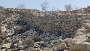
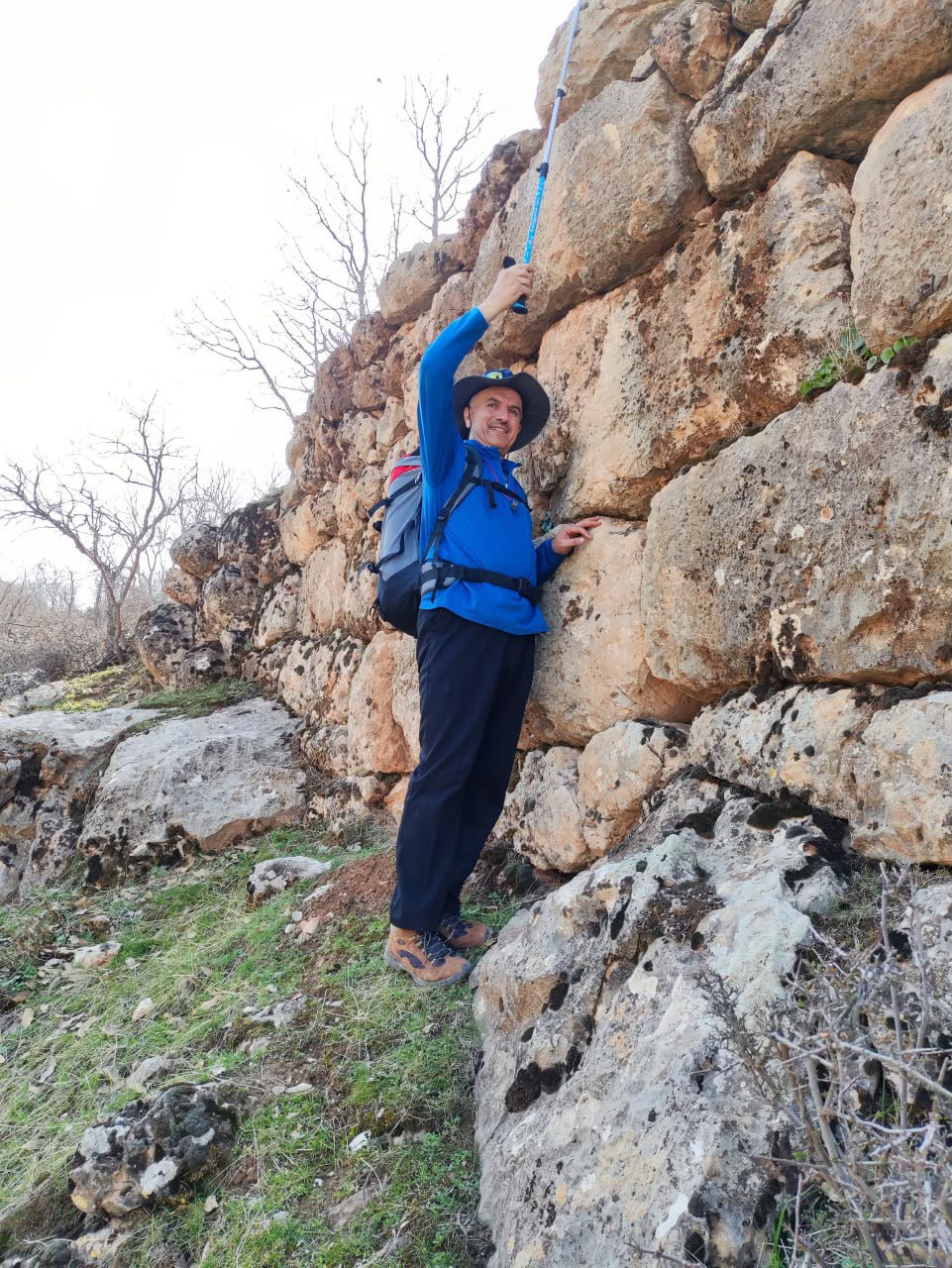
The wall extends horizontally from the heights of Gali Shadad on the right toward the western section until it overlooks Gali Falan. The southern part of the wall, which overlooks the town of Harir, is known as “Gor-i Faqiyan.” Its length is estimated to be over 500 meters. The wall then extends toward the higher elevations of the mountain, heading north. At Gor-i Faqiyan, specifically the spot where the Newroz fire is lit (known as the Abbasi Fire Site), traces of the wall and some standing sections remain. The stones are carved with great artistic and engineering precision. They are large, with some measuring approximately 90cm by 50cm by 30cm, though the sizes vary, with stones both larger and smaller than these dimensions.
The wall extends from the west toward the north/summit until it reaches a location known as “Gor-i Shayi.” Because the eastern side overlooks the extremely rugged and naturally fortified Gali Shadad, no wall was built there. The total length of the wall exceeds 1,500 meters, and the area it encloses is estimated to be over 3,000 square meters.
Style and Type of the Wall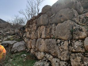
The wall generally consists of two styles:
Type One: Engineered with massive stones.
Type Two: Simple stones that appear like stacked rock piles (Kalaka).
The first type is located in two areas: the southern and northern sections. The wall appears very ancient, and its stones are exceptionally large and precisely engineered. I measured one of the stones near Gor-i Shayi in the northern part; it was 150cm by 70cm by 60cm. The height of the wall varies from one spot to another. Due to the collapse of most parts, the original height is unknown, but in some places, it currently stands at 3 meters. Its width reaches 2 meters in some spots and is nowhere less than one meter. The number of stones in the wall is estimated to be in the thousands.
The second type of citadel wall features smaller stones with very few precisely carved pieces. These walls were built using dry-stacking. Most of these sections have collapsed, though the stones remain scattered nearby. The current height in some spots ranges between one and two meters. Seeing these ruins raises several questions: Where did they bring these specific types of stones for the ancient section? How were they transported and assembled? What tools were used in that ancient era to move stones that weigh more than half a ton?
History of the Site
Regarding historical records, there are no clear or well-known written sources about this landmark. However, the elders of the area say it was a seat of power for the Shadadis (Shaddadids), and the gorge to the east of the wall is also named after them. It appears that the authority ruling from this citadel faced a massive and powerful threat, which is why they constructed such a formidable fortress in such a difficult location. Consequently, it is necessary for a formal archaeological excavation to be conducted to register this site scientifically.
Mountain Wells and Stone Pits
In the western part of the wall, there are several large water wells hand-carved into the mountain. These were used to trap and collect rainwater. Currently, only two of the wells are visible; the others have been filled with debris and disappeared. During our trip, one of the wells still contained water. The dimensions are as follows: the upper diameter is 150cm, and the depth ranges between 2 and 3 meters. I was unable to find information regarding which era or what tools were used to carve these wells into such hard, solid rock.
Archaeological Sites Near the Wall
Within the perimeter of the wall, there are remains of other structures, especially in the southern part overlooking Harir. About 5km west of the Harir Wall, at the foot of the mountain near the main road, there are traces of another rampart; the stones are large but simple and uncarved. Near this rampart, there is a human figure carved into the base of the mountain with great artistic precision inside a frame, which locals call “The Infidels’ Gate” (Dargay Kafaran). However, in archaeological sources, it is referred to as the Harir Relief; its scientific history has yet to be fully settled. Furthermore, another wall exists 4km west of the relief at the foot of the mountain, where walls and foundation stones remain in several places. Nearby are two mountain-carved wells built for water collection. About 3km east of the town lies the castle of Khanzad, the Princess of Soran; in the vicinity of that castle, there are more than 15 wells carved into the rock.
In general, during this trip, I saw the remains of three different ramparts along the Bani Harir mountain and its base. However, what fascinated me most was the wall on the summit; it is massive and clearly visible on Google Maps. Surprisingly, most residents of the town have never seen it; perhaps only two out of every hundred people know that such a great and significant wall exists in that location.
By: Nadir Rosti